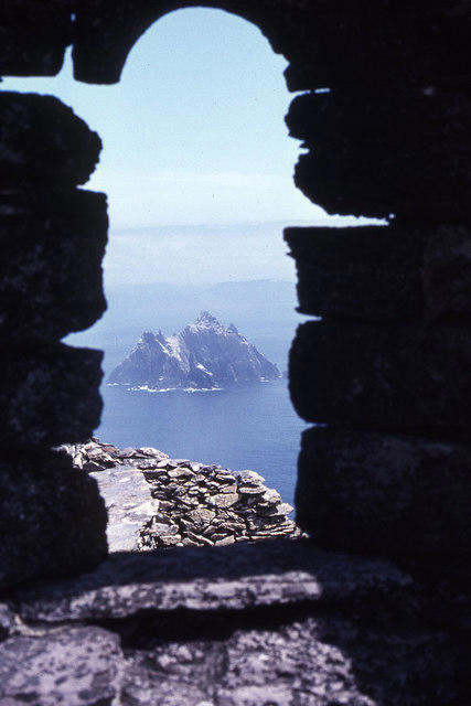
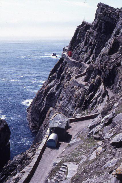
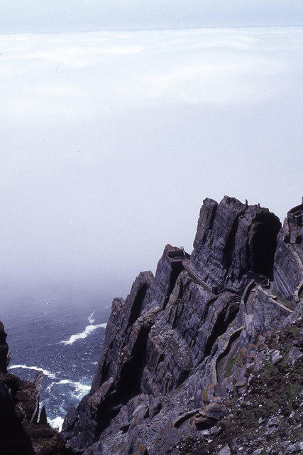
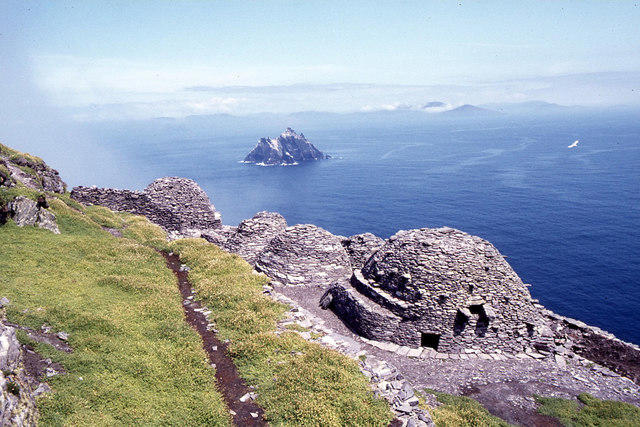
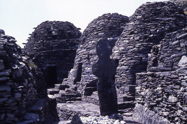
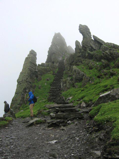
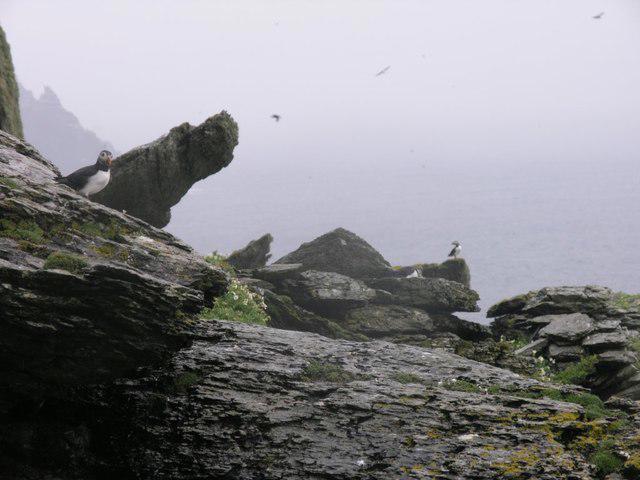
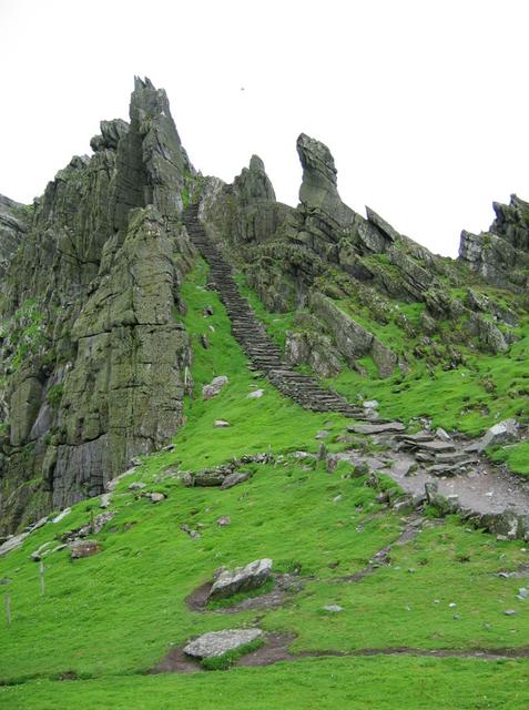
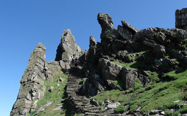
![Sceilg Mhichil [Great Skellig]](https://cdn.walkmates.com/hill-photos/hill-placeholder.jpg)

Coastal
Circular
Medium
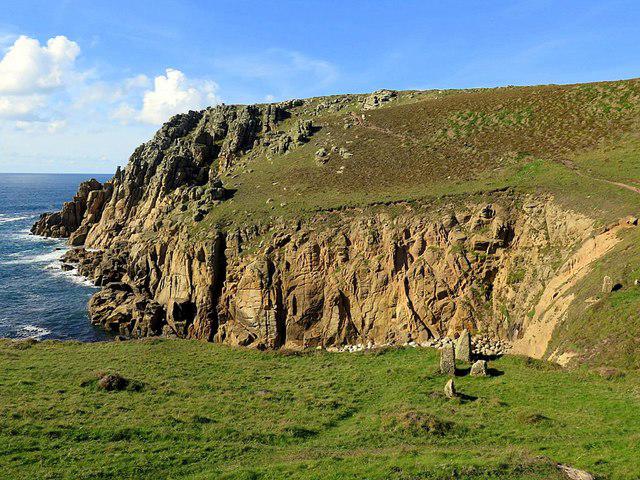
Porthcurno and the Minack Theatre
PaulWalkmates
Walk organiser
![Sceilg Mhichil [Great Skellig] location map](https://cdn.walkmates.com/hill-maps/sceilg-mhichil-[great-skellig].png)
No comments yet. Be the first.